National Weather Service (NWS)
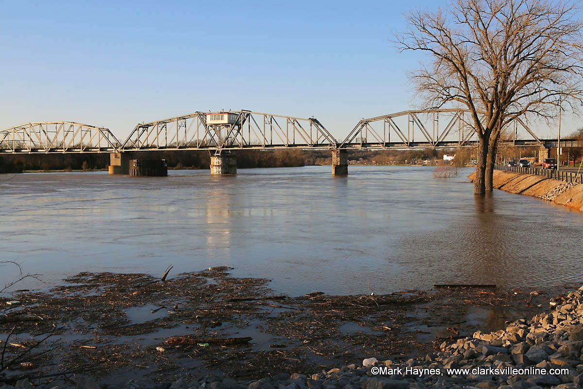
 Nashville, TN – The National Weather Service reports water levels on the Cumberland River from the Nashville area to Ashland City have crested and are beginning to subside, and most locations should fall below Flood Stage by this evening.
Near Clarksville and Dover, river levels will continue to rise slightly, before cresting later this evening. At Clarksville, the Cumberland River is projected to crest at 51.5 feet around midnight tonight. The Cumberland River will crest just after midnight in Dover at 66.8 feet. The stage for minor flooding is 67.0 feet.

At Clarksville, the river will remain above Moderate Flood stage through tonight.
At Dover, the river is expected to crest near Flood Stage later tonight.
After river levels fall below Flood Stage, they will remain high through most of the week and a Flood Advisory will likely be in effect for most locations.
Many locations are still dealing with high water from record rainfall. In addition, many rivers and creeks are above flood stage and will remain there through tonight.
Ongoing river flooding will continue through much of the week.
Flood Warning continues for the Cumberland River at Clarksville until Tuesday, February 26th at 7:00am.
At 10:00am Sunday the stage was 50.3 feet and rising slowly. It was at 51 feet at 3:00pm. At 7:30pm, the stage was 51.31 feet. The Cumberland River in Clarksville is expect to crest at 51.5 feet at midnight tonight.
Moderate flooding is forecast. Moderate Flood stage is 50.0 feet.
At 50.0 feet, most agricultural areas along the river are flooded, as well as many industrial and commercial properties, Riverfront Park, and adjacent tributaries. Riverside Drive in Clarksville begins to flood near Highway 48, Providence Boulevard, McClure Street, and Cumberland Drive. Also impacted are locations near Quarry Road, Kraft Street near College Street and Providence Boulevard, Zinc Plant Road, Salem Road, and Seven Mile Ferry Road. Water approaches athletic fields near Greenland Farms Drive, and properties on Branch Road.
At 48.0 feet, flooding continues to impact agricultural, industrial, and commercial properties, Riverfront Park, and adjacent tributaries including Bartons Creek, Red River, West Fork Red River, and Yellow Creek. Impacted locations include Riverside Drive near Highway 48 and Providence Boulevard, Quarry Road, Kraft Street near College Street, Zinc Plant Road, and properties near Salem Road and Seven Mile Ferry Road. Water approaches properties near Kraft Street and Providence Boulevard, and begins to cover Riverside Drive at McClure Street and near Cumberland Drive.
Avoid flooded areas along the river and move personal belongings to higher ground. Never drive through flooded roads as the depth of water may be too great to pass, even in trucks or sport utility vehicles.
If you come across a flooded road, Turn Around Don`t Drown.
Photo Gallery
no images were found


