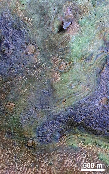
This view combines information from two instruments on a NASA Mars orbiter to map color-coded composition over the shape of the ground within the Nili Fossae plains region of Mars. (NASA/JPL-Caltech/JHUAPL/Univ. of Arizona)
Home This view combines information from two instruments on a NASA Mars orbiter to map color-coded composition over the shape of the ground within the Nili Fossae plains region of Mars. (NASA/JPL-Caltech/JHUAPL/Univ. of Arizona) This view combines information from two instruments on a NASA Mars orbiter to map color-coded composition over the shape of the ground within the Nili Fossae plains region of Mars. (NASA/JPL-Caltech/JHUAPL/Univ. of Arizona)
This view combines information from two instruments on a NASA Mars orbiter to map color-coded composition over the shape of the ground within the Nili Fossae plains region of Mars. (NASA/JPL-Caltech/JHUAPL/Univ. of Arizona)