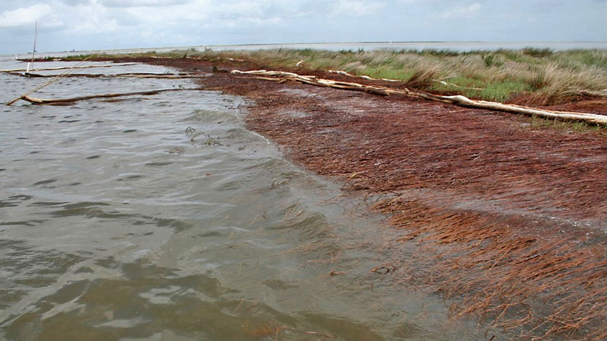
2010 photo of a shoreline in Bay Jimmy, Plaquemines Parish, Louisiana, impacted by the BP Deepwater Horizon oil spill. Oil weakens and kills vegetation, leading to the loss of roots that help hold soil together. (Bruce A. Davis, Department of Homeland Security)
Home 2010 photo of a shoreline in Bay Jimmy, Plaquemines Parish, Louisiana, impacted by the BP Deepwater Horizon oil spill. Oil weakens and kills vegetation, leading to the loss of roots that help hold soil together. (Bruce A. Davis, Department of Homeland Security) 2010 photo of a shoreline in Bay Jimmy, Plaquemines Parish, Louisiana, impacted by the BP Deepwater Horizon oil spill. Oil weakens and kills vegetation, leading to the loss of roots that help hold soil together. (Bruce A. Davis, Department of Homeland Security)
2010 photo of a shoreline in Bay Jimmy, Plaquemines Parish, Louisiana, impacted by the BP Deepwater Horizon oil spill. Oil weakens and kills vegetation, leading to the loss of roots that help hold soil together. (Bruce A. Davis, Department of Homeland Security)