National Weather Service (NWS)
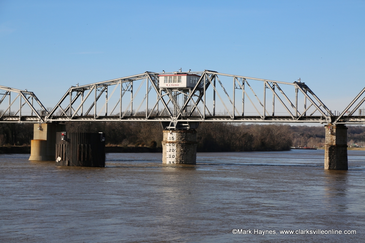
 Nashville, TN – National Weather Service has issued a flood advisory for the Cumberland River at Clarksville in Montgomery County.
Water levels on the Cumberland River below Old Hickory Dam will continue to slowly rise through today. Locations around Nashville from Old Hickory Dam through Bordeaux could likely reach or exceed Flood Stage late today or early Sunday.
Those with interests along the river should monitor future forecasts and anticipate a Flood Warning being issued later today.

Downstream for Clarksville and Dover, river levels will continue to rise, and these locations may reach Flood Stage as early as this evening.
The Flood Advisory continues for the Cumberland River at Clarksville until further notice.
At 2:00am, Saturday, February 23rd the stage was 44.7 feet. Flood stage is 46.0 feet. The river will rise to near 46.0 feet tomorrow morning.
At 50.0 feet, most agricultural areas along the river are flooded, as well as many industrial and commercial properties, Riverfront Park, and adjacent tributaries. Riverside Drive in Clarksville begins to flood near Highway-48, Providence Boulevard, McClure Street, and Cumberland Drive. Also impacted are locations near Quarry Road, Kraft Street near College Street and Providence Boulevard, Zinc Plant Road, Salem Road, and Seven Mile Ferry Road. Water approaches athletic fields near Greenland Farms Drive, and properties on Branch Road.
At 48.0 feet, flooding continues to impact agricultural, industrial, and commercial properties, Riverfront Park, and adjacent tributaries including Bartons Creek, Red River, West Fork Red River, and Yellow Creek. Impacted locations include Riverside Drive near Highway-48 and Providence Boulevard, Quarry Road, Kraft Street near College Street, Zinc Plant Road, and properties near Salem Road and Seven Mile Ferry Road. Water approaches properties near Kraft Street and Providence Boulevard, and begins to cover Riverside Drive at McClure Street and near Cumberland Drive.
At 46.0 feet, flood waters begin to impact areas along the river, including agricultural and commercial properties, Riverfront Park, and adjacent tributaries including Bartons Creek, Red River, West Fork Red River, and Yellow Creek. Affected locations include South Riverside Drive near Highway-48, North Riverside Drive near Providence Boulevard East, Quarry Road, Kraft Street near College Street, and Zinc Plant Road. Water approaches properties near Salem Road and Seven Mile Ferry Road.
At 45.0 feet, water approaches commercial and industrial properties on South Riverside Drive near Tennessee-48, North Riverside Drive near Providence Boulevard East, Quarry Road, Kraft Street near College Street, and Zinc Plant Road. Water also continues to inundate agricultural areas and parks along the river, and adjacent tributaries including Bartons Creek, Red River, West Fork Red River, and Yellow Creek.
At 43.0 feet, water continues to inundate low lying areas along the river, including agricultural areas, access points, portions of Riverfront Park on North Riverside Drive, and low lying areas of industrial property on Zinc Plant Road. Water also backs up adjacent tributaries, including Bartons Creek, Red River, West Fork Red River, and Yellow Creek.
At 40.0 feet, low lying areas along the river, including agricultural areas, access points, and portions of Riverfront Park on North Riverside Drive begin to be inundated. Water also backs up adjacent tributaries, including Bartons Creek, Red River, West Fork Red River, and Yellow Creek.


