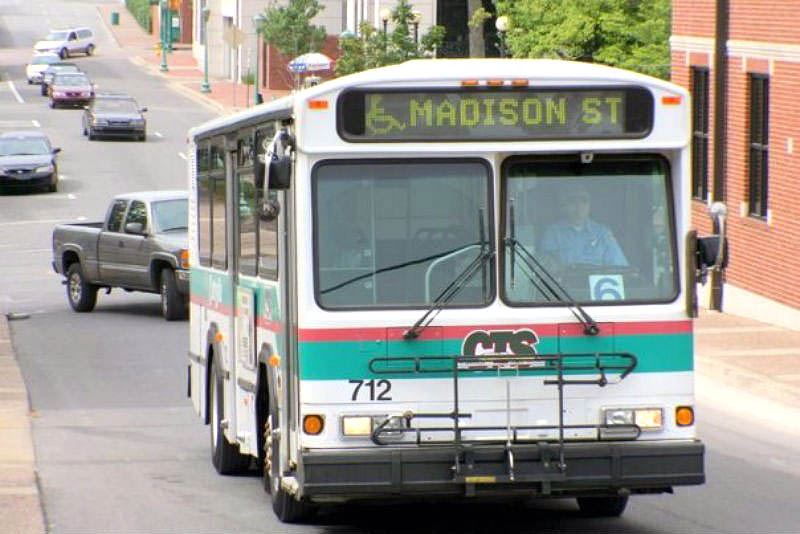
 Clarksville, TN – Clarksville Transit System (CTS) has teamed up with Google to make CTS route information accessible within Google Maps.
This Google Maps integration allows Clarksville locals and visitors to utilize a familiar interface to search for routes and destinations throughout Clarksville, making public transit more accessible than ever before.
“We’re excited to see this integration go into effect,” CTS Director Paul Nelson said. “This integration will allow Clarksvillians and visitors alike to use a service such as Google Maps that they are familiar and comfortable with to travel throughout Clarksville on one of our buses.”
“It also provides us with more data to better understand ridership so we can better serve the needs of our riders,” stated Nelson.
CTS initially launched its systemwide software upgrade earlier this year, allowing passengers to view real-time information for the first time. Transit information from this software upgrade is now being shared with Google as part of this integration, allowing visitors of Clarksville to access route information through Google Maps without the need of downloading an app.
The new system has since increased CTS’s efficiency and grown the department’s capacity to better serve the people of Clarksville.


