

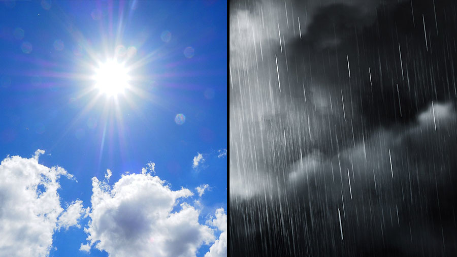
 Clarksville, TN – Clarksville and Montgomery County residents will see a mix of sunshine, warming temperatures, and increasing winds over the next several days before a strong weather system moves through late Sunday, bringing showers, possible thunderstorms, and a dramatic cooldown heading into Monday.
Temperatures will climb well above normal by the weekend before dropping sharply early next week.
Cloud cover will hang around early Thursday, but conditions will gradually improve as the day progresses. Skies will clear through the late morning and afternoon hours, allowing for some sunshine while temperatures climb to around 55 degrees. A north wind between 5 and 10 mph will continue through the day, occasionally gusting up to 20 mph.
Clearer skies settle into the area Thursday night, bringing quiet weather and cooler conditions. Overnight temperatures are expected to fall to around 38 degrees as light southwest winds shift to the south after midnight, increasing slightly to around 5 to 10 mph with occasional gusts near 20 mph.
Plenty of sunshine will dominate the skies on Friday, helping temperatures rebound significantly across Clarksville and Montgomery County. Afternoon highs will reach near 65 degrees, though breezy southwest winds of 10 to 15 mph could gust up to 25 mph at times.
Calmer conditions arrive on Friday night, with mostly clear skies and cooler air settling in across the region. Temperatures will dip to around 39 degrees as west-southwest winds near 5 mph gradually become calm later in the evening.
Bright sunshine continues Saturday, setting up one of the most pleasant days of the forecast period. Afternoon highs will reach near 69 degrees under mostly sunny skies. Winds will begin out of the east near 5 mph before shifting to a south-southeast direction later in the day.
Mild temperatures remain in place Saturday night, with mostly clear skies and overnight lows only falling to around 52 degrees. A light southeast wind around 5 mph will keep the air relatively comfortable for early March.
Clouds will increase across the area Sunday as a developing storm system approaches the Mid-South. There is a 20 percent chance of showers after 1:00 p.m., with mostly cloudy skies and warmer temperatures reaching near 75 degrees. Strong south winds will build through the afternoon, increasing from 10 to 15 mph up to 20 to 25 mph, with gusts possibly reaching 30 mph.
Storm chances ramp up Sunday night, when showers and possibly a thunderstorm are expected before 1:00 a.m., followed by lingering rain chances overnight. Temperatures will tumble to around 32 degrees as winds shift from southwest to northwest after midnight, with gusts up to 25 mph. Rain chances during the evening remain high, near 80 percent.
Much colder air arrives Monday, leaving skies mostly cloudy while daytime temperatures struggle to climb above 42 degrees following the passage of the storm system.
Clear skies return Monday night, bringing a sharp drop in temperatures across Clarksville and Montgomery County. Overnight lows are expected to fall to around 22 degrees under mostly clear skies, signaling a return to winter-like conditions.
Overall, the region will experience a pleasant warming trend through the weekend, but residents should prepare for windy conditions, potential storms Sunday evening, and a significant cooldown heading into early next week.