 Clarksville, TN – A series of thunderstorms, with heavy rainfall, have moved across the area this morning. At 4:30am, more thunderstorms with locally heavy rains, were pushing across the Tennessee River. Creeks and streams will likely be running high across the warned area, and those that are already near bankfull will be most vulnerable to flooding.
The National Weather Service is predicting rainfall totals of 1 to 2 inches for much of the mid state, With 2 to 4 possible in the northwest. Because the ground is already moisture laden, and area rivers are running high, the additional rainfall could lead to future flooding problems, especially around Clarksville, Dover, Camden and Waverly.
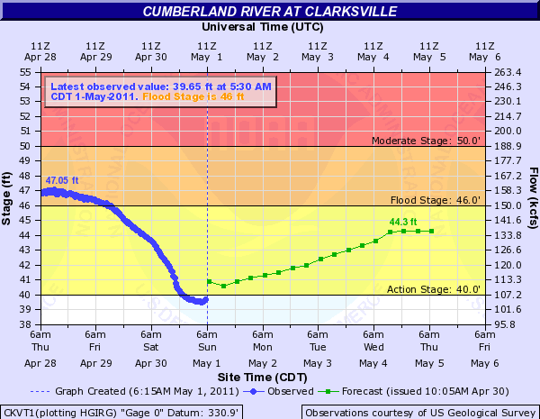
At Clarksville, the river level is around 42.0 feet and falling. However, it will bottom out near 40.0 feet today. The anticipated rainfall will push the river level at Clarksville back up to near 45.0 feet in the coming week, and possibly higher by the weekend. Flood stage is 46.0 feet at Clarksville. These high river levels will cause minor to moderate flooding along the Cumberland River downstream of Clarksville, in Stewart and Montgomery Counties.
The Cumberland river at Clarksville will continue to stay above action stage for the next 48 hours.
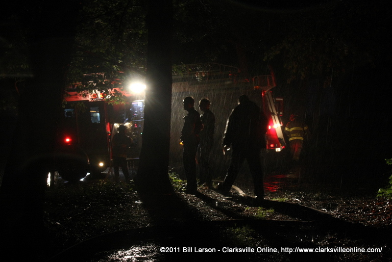
The National Weather services offers the following advice for those in flooded areas, “Do not drive your vehicle into areas where the water covers the roadway. The water depth may be too great to allow your car to cross safely. Move to higher ground. Most flood deaths occur in automobiles. Never drive your vehicle into areas where the water covers the roadway. Flood waters are usually deeper than they appear. Just one foot of flowing water is powerful enough to sweep vehicles off the road. When encountering flooded roads make the smart choice, TURN Around, DONT Drown.”
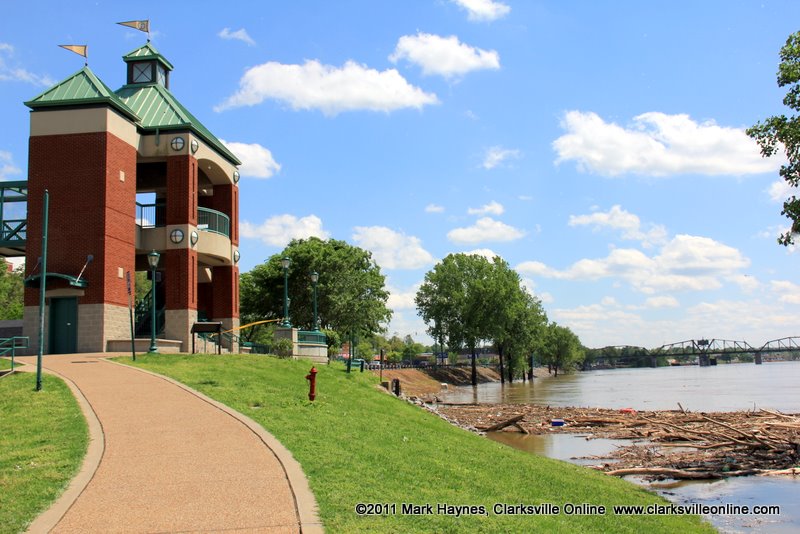
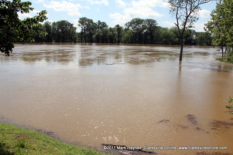
Flooding Images
Images taken on April 27th


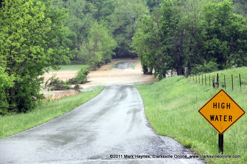


Images taken on April 28th