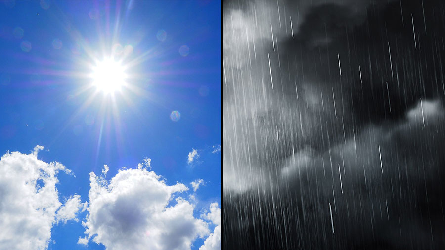
 Clarksville, TN – After a stretch of warm, muggy conditions, the week ahead will bring more unsettled weather to the Clarksville-Montgomery County area. Daily chances of showers and thunderstorms will continue through midweek, with temperatures staying seasonally warm and humid.
Residents should prepare for occasional afternoon storms and shifting skies throughout the week, particularly as the Juneteenth holiday approaches.
Sunday will start with patchy fog before 8:00am, but skies will turn partly sunny as temperatures rise to a high near 86 degrees. There’s a 40% chance of showers and thunderstorms developing mainly after 1:00pm. Winds will be calm in the morning, becoming light out of the west by afternoon.
A slight chance of thunderstorms remains before 7:00pm Sunday night, followed by mostly cloudy skies. Patchy fog is expected after 1:00am, with calm winds and an overnight low around 70 degrees. Precipitation chances drop to just 10%.
Rain chances increase again Monday with a 50% chance of showers and thunderstorms, especially during the afternoon hours. Skies will be partly sunny, and temperatures will peak near 85 degrees. Winds remain light, shifting southwest at around 5 mph later in the day.
For Monday night, there’s a 30% chance of storms before 1:00am under mostly cloudy skies. Temperatures will fall to around 70 degrees with calm winds becoming light out of the south-southwest overnight.
Expect a higher likelihood of showers and thunderstorms on Tuesday, especially after 1:00pm, with a 60% chance of precipitation. Skies will remain mostly cloudy, and temperatures will reach a high near 84. Southwest winds between 5 to 10 mph may make the air feel a bit stickier.
Tuesday night will be mostly cloudy with a low around 71 degrees. South-southwest winds around 5 mph will continue to keep things mild and humid.
Wednesday will see the warming trend continue with a high near 89 degrees under mostly sunny skies. A 40% chance of afternoon showers and thunderstorms is in the forecast, along with breezy southwest winds around 10 mph and gusts up to 20 mph.
A 40% chance of scattered thunderstorms will continue through Wednesday night, with partly cloudy skies and a low near 73 degrees. Winds remain steady out of the south-southwest at 5 to 10 mph.
For Juneteenth, Thursday, expect a mix of sun and storms for the Juneteenth holiday. Showers are likely in the afternoon, possibly accompanied by a thunderstorm, with a 60% chance of precipitation. High temperatures will reach around 86 degrees under partly sunny skies.
On Thursday night, skies begin to clear somewhat overnight with partly cloudy conditions and a cooler low near 69 degrees, offering a brief reprieve from the muggy weather.
As the week progresses, keep an umbrella close and be weather-aware, especially during afternoon hours when storms are most likely. While much of the rain will be hit-or-miss, localized downpours and brief gusty winds are possible. Stay tuned to local forecasts for updates throughout the week.