 Clarksville, TN – Residents across Clarksville and Montgomery County can expect a hot and mostly sunny start to the week, with temperatures climbing into the mid-90s and heat index values reaching above 100 degrees.
The hottest conditions are expected Monday and Tuesday before increasing chances for showers and thunderstorms arrive Wednesday and continue through Thursday. Overnight temperatures will remain warm, with lows generally staying in the low to mid-70s.
Sunday will begin with areas of fog before 8:00am, but the remainder of the day is expected to be mostly sunny. Temperatures will climb to a high near 92 degrees, while heat index values could reach as high as 102. Winds will be calm early before becoming south-southwest around 5 mph during the afternoon.
Sunday night will remain mostly clear, with temperatures falling to around 73 degrees. A south wind around 5 mph will continue overnight.
Monday will bring another sunny and hot day to Clarksville-Montgomery County, with temperatures reaching a high near 94 degrees. Heat index values could climb as high as 104, making conditions feel significantly hotter than the actual air temperature. Southwest winds will range from 5 to 10 mph.
Monday night will be mostly clear, with a low around 74 degrees and a south-southwest wind near 5 mph.
Tuesday is expected to be the hottest day of the forecast period, with sunny skies and temperatures rising to around 95 degrees. A west-southwest wind of 5 to 10 mph will provide some movement in the air, but the heat will remain the dominant weather concern.
Tuesday night will stay mostly clear, with temperatures only dropping to around 75 degrees. Winds will shift to the south-southwest at around 5 mph.
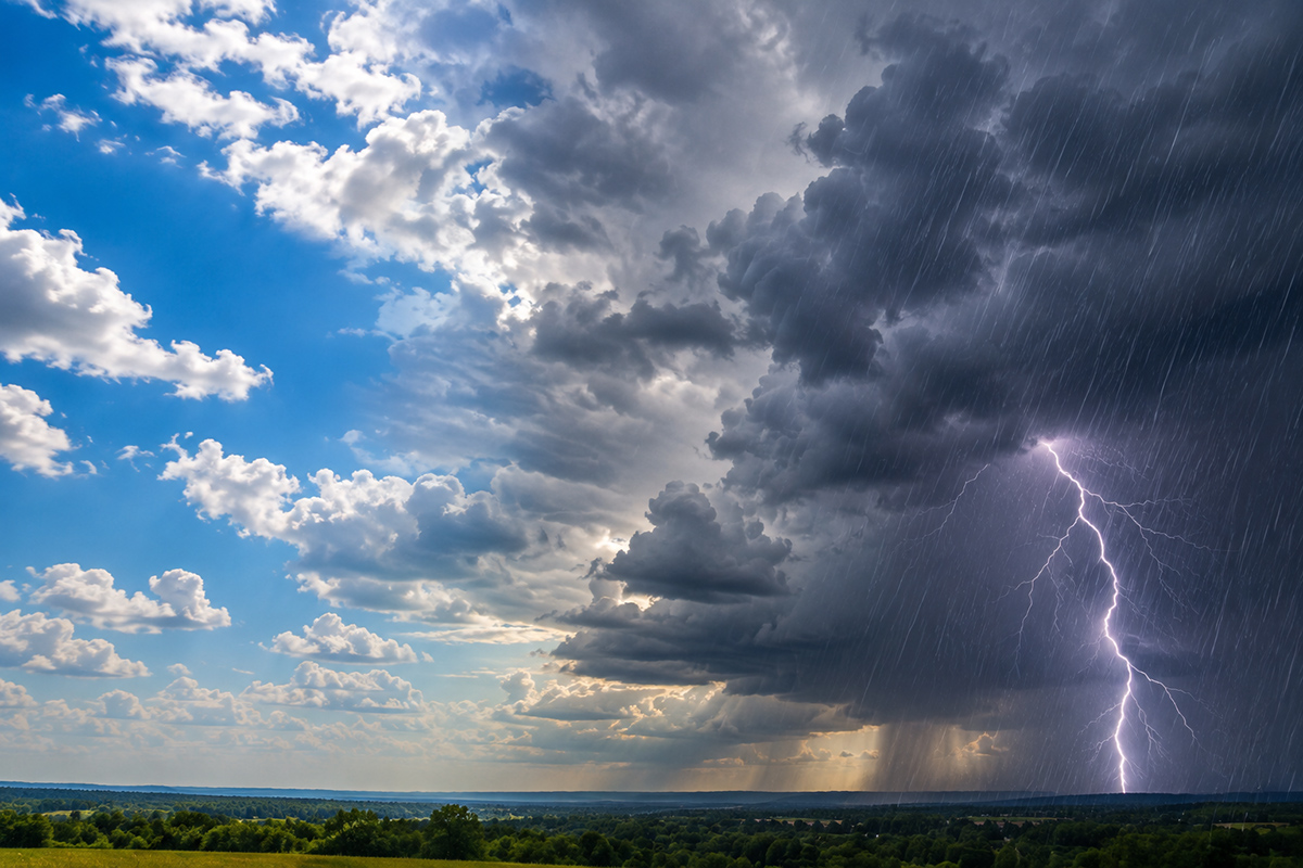
Wednesday will mark a change in the weather pattern as shower and thunderstorm chances increase to 40%. The day will remain mostly sunny at times, with a high near 94 degrees and west southwest winds of 5 to 10 mph. Some locations could see thunderstorms during the afternoon or evening hours.
Wednesday night will continue to carry a 40% chance of showers and thunderstorms, with partly cloudy skies and a low around 75 degrees. South-southwest winds will range from 5 to 10 mph.
Thursday will bring continued chances for showers and thunderstorms across Clarksville and Montgomery County. There is a 40% chance of precipitation, while partly sunny skies and a high near 92 degrees are expected.
Thursday night will remain unsettled, with a 40% chance of showers and thunderstorms under mostly cloudy skies. Temperatures will fall to around 73 degrees.
Overall, the week will begin with several days of intense summer heat before a wetter pattern develops in the middle of the week. With heat index values reaching 100 degrees or higher on Sunday and Monday, residents should take precautions during prolonged outdoor activities and stay hydrated.
The arrival of showers and thunderstorms on Wednesday and Thursday could provide some relief from the heat, but residents should continue to monitor the forecast for updates as storm chances increase.