

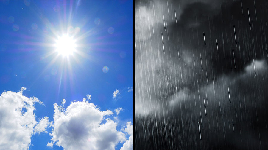
 Clarksville, TN – Residents across Clarksville and Montgomery County can look forward to a pleasant stretch of late-summer weather to close out the workweek, with sunshine, comfortable temperatures, and lower humidity.
However, the quiet weather won’t last long, as rain and thunderstorms are expected to move into the area late Friday and continue through much of the weekend before scattered storm chances linger into early next week.
Conditions will remain favorable for outdoor activities through Friday afternoon, but those with weekend plans should stay weather-aware as periods of heavy rain, thunderstorms, and gusty winds become increasingly likely.
The weather on Thursday will be sunny and comfortable, with a high temperature reaching near 87 degrees. A light northeast wind around 5 mph will help keep humidity in check, making for an enjoyable summer day across Clarksville-Montgomery County.
Thursday night will see increasing clouds moving into the region while remaining dry. Overnight temperatures will fall to around 64 degrees as the northeast wind, around 5 mph, becomes calm during the evening.
The weather on Friday will remain mostly sunny with another warm afternoon and a high near 89 degrees. Winds will begin calm before becoming southeasterly around 5 mph later in the day as moisture gradually returns to the area.
Friday night brings a significant change in the forecast. A slight chance of showers and thunderstorms during the evening will give way to widespread showers and possibly thunderstorms after 1:00am. Temperatures will bottom out around 69 degrees with a southeast wind near 5 mph. Rain chances increase to 80 percent overnight.
The weather on Saturday is expected to be unsettled as showers and thunderstorms become likely throughout the day. High temperatures will remain cooler near 86 degrees. South-southwest winds around 10 mph, with gusts reaching up to 20 mph, may accompany stronger storms. The chance of precipitation remains at 80 percent.
Saturday night will continue with a 40 percent chance of showers and thunderstorms, mainly before 1:00am. Skies will remain mostly cloudy with a low around 68 degrees while west winds of 5 to 10 mph develop.
The weather on Sunday improves slightly, although scattered showers and thunderstorms remain possible, especially after 1:00pm. Expect partly sunny skies and a cooler high near 82 degrees as north winds increase to between 5 and 10 mph.
Sunday night will feature partly cloudy skies with a pleasant low around 67 degrees. North winds around 5 mph will become calm during the evening, providing a quieter end to the weekend.
The weather on Monday will bring mostly sunny skies during the morning before another chance of showers and thunderstorms develops after 1:00pm. Afternoon highs will climb to around 86 degrees, with rain chances standing at 30 percent.
Monday night will remain partly cloudy with a slight 20 percent chance of showers and thunderstorms. Overnight temperatures will settle near 69 degrees.
The weather on Tuesday continues the unsettled pattern with a 50 percent chance of showers and thunderstorms despite mostly sunny skies. Afternoon temperatures will rise to around 88 degrees.
Tuesday night will be partly cloudy with mild overnight temperatures near 70 degrees, providing a quiet finish to the forecast period.
While Thursday and much of Friday offer excellent conditions for outdoor work and recreation, residents should prepare for a wetter weekend as thunderstorms become more widespread. Those with outdoor events should monitor the latest forecasts and remain alert for changing conditions, especially from Friday night through Saturday when the greatest likelihood of rain and thunderstorms is expected.



